

It's been two years since the City Council got a look at expanding a nature trail to run from Rooster Front Park to the Bristol Motor Speedway.
In 2019, Parks and Rec' Director Terry Napier presented the project to the council. The presentation included drone footage of the project's proposed route along Beaver Creek.
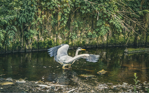
Beaver Creek greenway

The plan for the Beaver Creek greenway appears to be moving forward. The city will hold a town-hall meeting at the Slater Center this Tuesday evening to discuss the project.
The plan was initially reported to begin at Rooster Front Park, on the back side of Steele Creek Park, and continue along Vance Drive. It would terminate at the campgrounds at the Bristol Motor Speedway.
The project would involve purchasing right-of-way to construct a ten-foot wide paved path. The path would be designed to support both pedestrian and bicycle traffic. Additional costs would be required for needed signage and accessories, such as benches.
Such a project adds to the charm and social equity of a community, making the city more appealing to those seeking to relocate here. That goes for both businesses and families. The available infrastructure to support outdoor activity and natural exercise has become a common draw, just as city parks and green spaces.
Master plan
The city's 2014 comprehensive park and recreation "master plan" discovered a need and interest in the expanding the town's trails and greenways. A plan prepared by McGill Associates provided a list of possible trails, forming a network across Bristol.
Terry Napier says the proposed route has beautiful features, such as a waterfalls, rock cliffs and green hills. The proposed trail route would require purchasing right-of-way access in many areas. Most of the property along Beaver Creek is private property. The bright side is the property values along the expanded greenway would increase for the landowners.
Cost
City Manager Bill Sorah brought an engineering study of the project and made recommendations last year. The project will run about $2.4 million. That total is the projected result of a series of nine sections. The trail would around 5 miles long. The route includes underpasses (below Volunteer Parkway) and bridges over Beaver Creek.
The least expensive section's cost estimate is $104,000. The most expensive is expected to run $564,500 - though those figures could change dramatically due to recent inflation.
The trail will run along Beaver Creek and is mostly within a flood plain and could not be used for other projects as a result.